

 Click Here Now

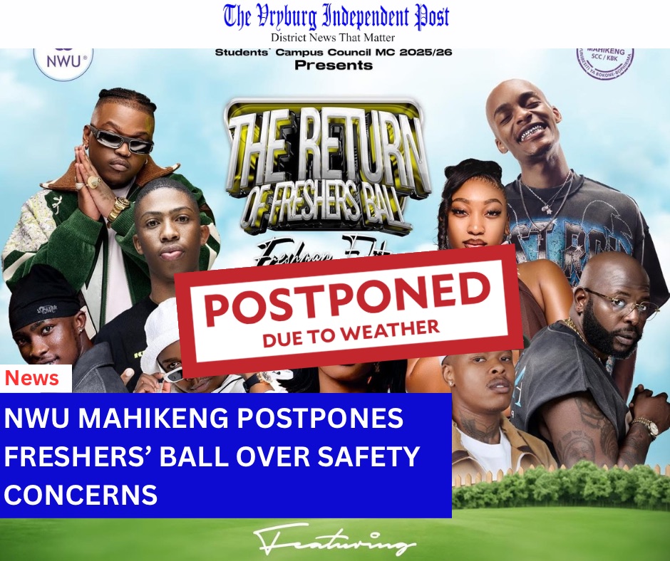
North West — Sat 6 & Sun 7 Dec 2025.
The South African Weather Service (SAWS) has issued a Yellow Level 2 warning for severe thunderstorms affecting parts of the south-western North West, the north-eastern Northern Cape, and much of the Free State.

What SAWS is warning about
• Today (Sat 6 Dec): Central and southern North West sit under a 60% chance of showers and thunderstorms, with a Level-2 risk for heavy downpours, localised flooding of roads/low-lying bridges, strong winds, frequent lightning and small hail.
• Tomorrow (Sun 7 Dec): Risk shifts slightly east; most of the North West, including Dr RSM, has isolated (±30%) thunderstorms, but severe cells can still develop near the south-western belt bordering the Northern Cape/Free State.
(SAWS maps issued 06 Dec 2025 at 12:00 show the warning band running Kimberley–Bloemfontein–Welkom–Bethlehem, with Vryburg on the northern edge of the impact zone.)


What this means for Dr RSM (Vryburg, Naledi, Greater Taung, Mamusa, Lekwa-Teemane, Kagisano-Molopo)
• Expect afternoon to late-evening storms; downpours may cause rapid pooling on sections of the N14, N18, R34 and R378, and on low-water bridges and causeways.
• Wind & hail could damage light structures, trees and signage; lightning risk will be high in storm cores.
Safety checklist
• Delay crossing flooded bridges or dips—turn around, don’t risk it.
• Secure loose items; park under cover where possible.
• During lightning, avoid open fields/metal objects; unplug sensitive electronics.
• Farmers: move stock from low-lying grazing and check fence-line crossings.
SAWS will update forecasts again early Sunday. We’ll share changes as they’re released. If you encounter dangerous conditions, inform local authorities—and you can send verified tips/photos to The Vryburg Independent Post (The VIP) Team so we can alert neighbours quickly. Stay safe, district.
-The VIP Team
-SAWS