

 Click Here Now

The South African Weather Service (SAWS) has issued impact-based severe-thunderstorm warnings for today, Friday 12 December 2025, with the storm belt stretching from the Northern Cape through the Free State and into parts of the North West.
Warnings
• Orange Level 5 (Severe thunderstorms) over the interior of the Northern Cape and western Free State, with flooding of roads/low-lying areas and damage to infrastructure possible.
• Yellow Level 2 (Severe thunderstorms) for the western parts of the North West, bringing localised flooding of susceptible roads and settlements, strong winds, excessive lightning and small to large hail in places.
• SAWS rainfall guidance shows scattered to widespread thundershowers (60–80%) across the central belt, including much of the North West.

What this means for our district
• Communities and motorists in Vryburg, Taung, Schweizer-Reneke and surrounds should prepare for rapidly changing conditions this afternoon into evening.
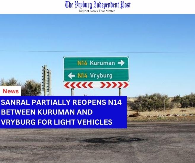
• Expect ponding on streets, difficult driving visibility, and fast-rising streams/low-water bridges along routes such as the N14, N18 and R34.
Safety tips
• Avoid crossing flooded roads and low-water bridges.
• Secure outdoor items; move pumps and equipment away from drainage lines.
• Shelter pets and livestock; stay indoors during lightning.
• Report weather-related emergencies to 112 (cell) or local disaster management.
-The VIP Team
-SAWS